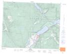
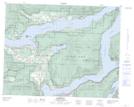
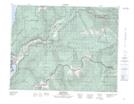
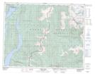
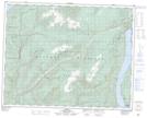
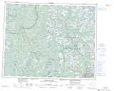
Maps showing Shuswap Lake, Kamloops Division Yale Land District, British Columbia
Shuswap Lake is a Lake located in Kamloops Division Yale Land District, British Columbia and has an elevation of 348 meters.
- Latitude: 50° 56' North (decimal: 50.9333000)
- Longitude: 119° 17' West (decimal: -119.2833000)
- Topography Feature Category: Lake
- Geographical Feature: Lake
- Canadian Province/Territory: British Columbia
- Elevation: 348 meters
- Location: Kamloops Division Yale Land District
- Atlas of Canada Locator Map: Shuswap Lake
- GPS Coordinate Locator Map: Shuswap Lake Lat/Long
Shuswap Lake NTS Map Sheets
082L13 Chase Topographic Map at 1:50,000 scale
082L14 Sorrento Topographic Map at 1:50,000 scale
082L15 Malakwa Topographic Map at 1:50,000 scale
082M02 Perry River Topographic Map at 1:50,000 scale
082M03 Albas Topographic Map at 1:50,000 scale
082L Vernon Topographic Map at 1:250,000 scale
082M Seymour Arm Topographic Map at 1:250,000 scale
082L14 Sorrento Topographic Map at 1:50,000 scale
082L15 Malakwa Topographic Map at 1:50,000 scale
082M02 Perry River Topographic Map at 1:50,000 scale
082M03 Albas Topographic Map at 1:50,000 scale
082L Vernon Topographic Map at 1:250,000 scale
082M Seymour Arm Topographic Map at 1:250,000 scale