Maps showing McGregor River, Cariboo Land District, British Columbia
McGregor River is a River located in Cariboo Land District, British Columbia and has an elevation of 608 meters.
- Latitude: 54° 11' North (decimal: 54.1833000)
- Longitude: 122° 2' West (decimal: -122.0332999)
- Topography Feature Category: River
- Geographical Feature: River
- Canadian Province/Territory: British Columbia
- Elevation: 608 meters
- Location: Cariboo Land District
- Atlas of Canada Locator Map: McGregor River
- GPS Coordinate Locator Map: McGregor River Lat/Long
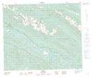
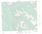
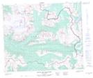
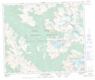
McGregor River NTS Map Sheets
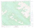
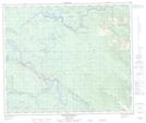
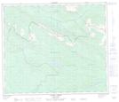
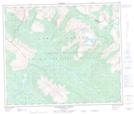
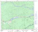
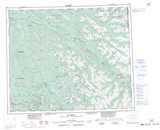
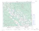
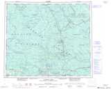
093H14 Penny Topographic Map at 1:50,000 scale
093H15 Walker Creek Topographic Map at 1:50,000 scale
093H16 Mount Sir Alexander Topographic Map at 1:50,000 scale
093I02 Ovington Creek Topographic Map at 1:50,000 scale
093I03 Gleason Creek Topographic Map at 1:50,000 scale
093I04 Sinclair Mills Topographic Map at 1:50,000 scale
093I05 Otter Creek Topographic Map at 1:50,000 scale
093I06 Spakwaniko Creek Topographic Map at 1:50,000 scale
093J01 Giscome Topographic Map at 1:50,000 scale
093H Mcbride Topographic Map at 1:250,000 scale
093I Monkman Pass Topographic Map at 1:250,000 scale
093J Mcleod Lake Topographic Map at 1:250,000 scale