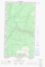
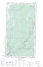
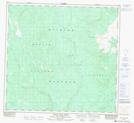
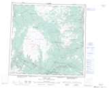
Maps showing Riley's, Cassiar Land District, British Columbia
Riley's is a Unincorporated area located in Cassiar Land District, British Columbia.
- Latitude: 58° 18' North (decimal: 58.2999999)
- Longitude: 130° 31' West (decimal: -130.5166999)
- Topography Feature Category: Unincorporated area
- Geographical Feature: Locality
- Canadian Province/Territory: British Columbia
- Location: Cassiar Land District
- GPS Coordinate Locator Map: Riley's Lat/Long
Riley's NTS Map Sheets