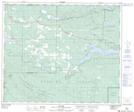
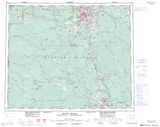
Maps showing Wedgwood, Cariboo Land District, British Columbia
Wedgwood is a Unincorporated area located in Cariboo Land District, British Columbia and has an elevation of 660 meters.
- Latitude: 53° 59' 35'' North (decimal: 53.9930555)
- Longitude: 123° 30' 20'' West (decimal: -123.5055555)
- Topography Feature Category: Unincorporated area
- Geographical Feature: Railway Point
- Canadian Province/Territory: British Columbia
- Elevation: 660 meters
- Location: Cariboo Land District
- Atlas of Canada Locator Map: Wedgwood
- GPS Coordinate Locator Map: Wedgwood Lat/Long
Wedgwood NTS Map Sheets