Maps showing West Road (Blackwater) River, Cariboo Land District, British Columbia
West Road (Blackwater) River is a River located in Cariboo Land District, British Columbia and has an elevation of 702 meters.
- Latitude: 53° 19' North (decimal: 53.3166999)
- Longitude: 122° 52' West (decimal: -122.8667000)
- Topography Feature Category: River
- Geographical Feature: River
- Canadian Province/Territory: British Columbia
- Elevation: 702 meters
- Location: Cariboo Land District
- Atlas of Canada Locator Map: West Road (Blackwater) River
- GPS Coordinate Locator Map: West Road (Blackwater) River Lat/Long
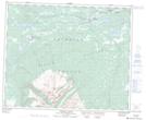
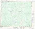
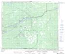
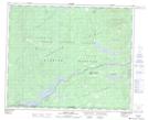
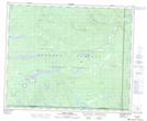
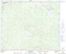
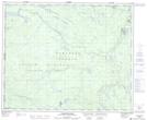
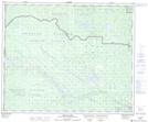
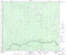
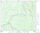
West Road (Blackwater) River NTS Map Sheets
093C14 Carnlick Creek Topographic Map at 1:50,000 scale
093C15 Kushya River Topographic Map at 1:50,000 scale
093F01 Suscha Creek Topographic Map at 1:50,000 scale
093F02 Tsacha Lake Topographic Map at 1:50,000 scale
093F03 Fawnie Creek Topographic Map at 1:50,000 scale
093G03 Pantage Lake Topographic Map at 1:50,000 scale
093G04 Coglistiko River Topographic Map at 1:50,000 scale
093G05 Pelican Lake Topographic Map at 1:50,000 scale
093G06 Punchaw Lake Topographic Map at 1:50,000 scale
093G07 Hixon Topographic Map at 1:50,000 scale
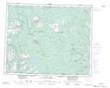
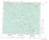
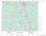
093C Anahim Lake Topographic Map at 1:250,000 scale
093F Nechako River Topographic Map at 1:250,000 scale
093G Prince George Topographic Map at 1:250,000 scale