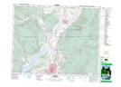
Maps showing Spallumcheen Lake, Kamloops Division Yale Land District, British Columbia
Spallumcheen Lake is a Lake located in Kamloops Division Yale Land District, British Columbia.
- Latitude: 50° 26' 15'' North (decimal: 50.4374999)
- Longitude: 119° 21' 25'' West (decimal: -119.3568999)
- Topography Feature Category: Lake
- Geographical Feature: Lake
- Canadian Province/Territory: British Columbia
- Location: Kamloops Division Yale Land District
- GPS Coordinate Locator Map: Spallumcheen Lake Lat/Long