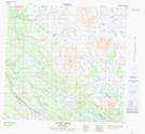
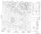
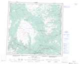
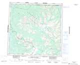
Maps showing Meehaz Mountain, Cassiar Land District, British Columbia
Meehaz Mountain is a Mountain located in Cassiar Land District, British Columbia.
- Latitude: 59° 0' 12'' North (decimal: 59.0033333)
- Longitude: 131° 27' 4'' West (decimal: -131.4511111)
- Topography Feature Category: Mountain
- Geographical Feature: Mountain
- Canadian Province/Territory: British Columbia
- Location: Cassiar Land District
- Atlas of Canada Locator Map: Meehaz Mountain
- GPS Coordinate Locator Map: Meehaz Mountain Lat/Long
Meehaz Mountain NTS Map Sheets