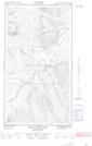
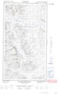
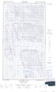
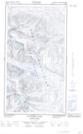
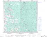
Maps showing Mount Trimble, Peace River Land District, British Columbia
Mount Trimble is a Mountain located in Peace River Land District, British Columbia and has an elevation of 1814 meters.
- Latitude: 57° 15' 1'' North (decimal: 57.2502777)
- Longitude: 123° 36' 38'' West (decimal: -123.6105555)
- Topography Feature Category: Mountain
- Geographical Feature: Mount
- Canadian Province/Territory: British Columbia
- Elevation: 1814 meters
- Location: Peace River Land District
- Atlas of Canada Locator Map: Mount Trimble
- GPS Coordinate Locator Map: Mount Trimble Lat/Long
Mount Trimble NTS Map Sheets