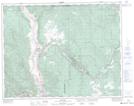
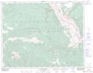
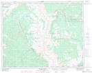
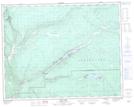
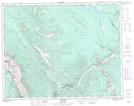
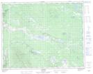
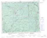
Maps showing Marble Range, Lillooet Land District, British Columbia
Marble Range is a Mountain located in Lillooet Land District, British Columbia and has an elevation of 1263 meters.
- Latitude: 51° 0' North (decimal: 51.0000000)
- Longitude: 121° 45' West (decimal: -121.7500000)
- Topography Feature Category: Mountain
- Geographical Feature: Range
- Canadian Province/Territory: British Columbia
- Elevation: 1263 meters
- Location: Lillooet Land District
- Atlas of Canada Locator Map: Marble Range
- GPS Coordinate Locator Map: Marble Range Lat/Long
Marble Range NTS Map Sheets
092I13 Pavilion Topographic Map at 1:50,000 scale
092O01 Big Bar Creek Topographic Map at 1:50,000 scale
092O08 Empire Valley Topographic Map at 1:50,000 scale
092P03 Loon Lake Topographic Map at 1:50,000 scale
092P04 Clinton Topographic Map at 1:50,000 scale
092P05 Jesmond Topographic Map at 1:50,000 scale
092I Ashcroft Topographic Map at 1:250,000 scale
092O Taseko Lakes Topographic Map at 1:250,000 scale
092P Bonaparte Lake Topographic Map at 1:250,000 scale