Maps showing Okanagan Highland, Osoyoos Division; Similkameen Division Yale Land District, British Columbia
Okanagan Highland is a Mountain located in Osoyoos Division; Similkameen Division Yale Land District, British Columbia and has an elevation of 1483 meters.
- Latitude: 49° 35' North (decimal: 49.5832999)
- Longitude: 119° 00' West (decimal: -118.9999999)
- Topography Feature Category: Mountain
- Geographical Feature: Highland
- Canadian Province/Territory: British Columbia
- Elevation: 1483 meters
- Location: Osoyoos Division; Similkameen Division Yale Land District
- Atlas of Canada Locator Map: Okanagan Highland
- GPS Coordinate Locator Map: Okanagan Highland Lat/Long
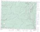
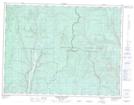
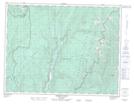
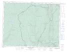
Okanagan Highland NTS Map Sheets
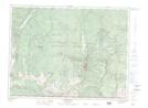
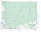
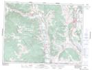
082E02 Greenwood Topographic Map at 1:50,000 scale
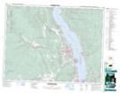
082E03 Osoyoos Topographic Map at 1:50,000 scale
082E04 Keremeos Topographic Map at 1:50,000 scale
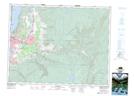
082E05 Penticton Topographic Map at 1:50,000 scale
082E06 Beaverdell Topographic Map at 1:50,000 scale
082E07 Almond Mountain Topographic Map at 1:50,000 scale
082E10 Christian Valley Topographic Map at 1:50,000 scale
082E11 Wilkinson Creek Topographic Map at 1:50,000 scale
082E12 Summerland Topographic Map at 1:50,000 scale
082E14 Kelowna Topographic Map at 1:50,000 scale
082E15 Damfino Creek Topographic Map at 1:50,000 scale
082L02 Creighton Creek Topographic Map at 1:50,000 scale
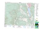
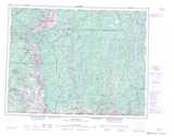
082E Penticton Topographic Map at 1:250,000 scale
082L Vernon Topographic Map at 1:250,000 scale