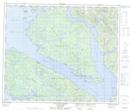
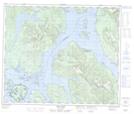
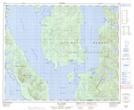
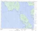
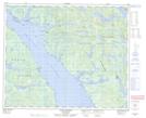
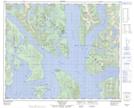
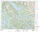
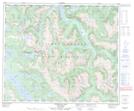
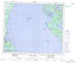
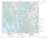
Maps showing Pitt Island, Range 4 Coast Land District, British Columbia
Pitt Island is a Island located in Range 4 Coast Land District, British Columbia and has an elevation of 568 meters.
- Latitude: 53° 30' North (decimal: 53.4999999)
- Longitude: 129° 47' West (decimal: -129.7832999)
- Topography Feature Category: Island
- Geographical Feature: Island
- Canadian Province/Territory: British Columbia
- Elevation: 568 meters
- Location: Range 4 Coast Land District
- Atlas of Canada Locator Map: Pitt Island
- GPS Coordinate Locator Map: Pitt Island Lat/Long
Pitt Island NTS Map Sheets
103G09 Mccauley Island Topographic Map at 1:50,000 scale
103G16 Oona River Topographic Map at 1:50,000 scale
103H03 Gil Island Topographic Map at 1:50,000 scale
103H04 Trutch Island Topographic Map at 1:50,000 scale
103H05 Port Stephens Topographic Map at 1:50,000 scale
103H06 Hartley Bay Topographic Map at 1:50,000 scale
103H12 Lowe Inlet Topographic Map at 1:50,000 scale
103H13 Kumealon Lake Topographic Map at 1:50,000 scale
103G Hecate Strait Topographic Map at 1:250,000 scale
103H Douglas Channel Topographic Map at 1:250,000 scale