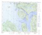
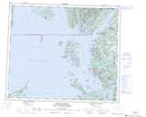
Maps showing Dor Rock, Range 5 Coast Land District, British Columbia
Dor Rock is a Shoal located in Range 5 Coast Land District, British Columbia.
- Latitude: 54° 10' 16'' North (decimal: 54.1711111)
- Longitude: 130° 21' 24'' West (decimal: -130.3566666)
- Topography Feature Category: Shoal
- Geographical Feature: Rock
- Canadian Province/Territory: British Columbia
- Location: Range 5 Coast Land District
- Atlas of Canada Locator Map: Dor Rock
- GPS Coordinate Locator Map: Dor Rock Lat/Long
Dor Rock NTS Map Sheets