Canada Topographic Maps

North Arm of Work Channel Topo Maps

Topography maps and Latitude/Longitude Location

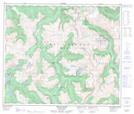
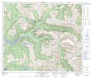
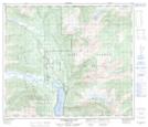
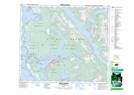
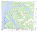
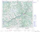
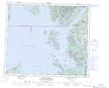
Maps showing North Arm of Work Channel, Range 5 Coast Land District, British Columbia

North Arm of Work Channel is a Channel located in Range 5 Coast Land District, British Columbia.

  • Latitude: 54° 28' North   (decimal: 54.4667000)
  • Longitude: 130° 4' West   (decimal: -130.0667000)
  • Topography Feature Category: Channel
  • Geographical Feature: Channel
  • Canadian Province/Territory: British Columbia
  • Location: Range 5 Coast Land District
  • GPS Coordinate Locator Map: North Arm of Work Channel Lat/Long

North Arm of Work Channel NTS Map Sheets

103I05 Khyex Topographic Map at 1:50,000 scale

103I12 Khutzeymateen River Topographic Map at 1:50,000 scale

103I15 Kitsumkalum Lake Topographic Map at 1:50,000 scale

103J08 Prince Rupert Topographic Map at 1:50,000 scale

103J09 Port Simpson Topographic Map at 1:50,000 scale

103I Terrace Topographic Map at 1:250,000 scale

103J Prince Rupert Topographic Map at 1:250,000 scale

 
Buy Topographic Maps DVD
Newsletter Sign-up

Yes, I want to receive map store discounts.


Bookmark and Share