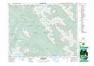
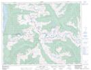
Maps showing Roger Creek, New Westminster Land District, British Columbia
Roger Creek is a River located in New Westminster Land District, British Columbia.
- Latitude: 49° 59' 22'' North (decimal: 49.9894444)
- Longitude: 122° 27' 30'' West (decimal: -122.458333)
- Topography Feature Category: River
- Geographical Feature: Creek
- Canadian Province/Territory: British Columbia
- Location: New Westminster Land District
- GPS Coordinate Locator Map: Roger Creek Lat/Long
Roger Creek NTS Map Sheets