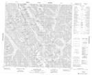
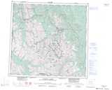
Maps showing Mount Peck, Peace River Land District, British Columbia
Mount Peck is a Mountain located in Peace River Land District, British Columbia.
- Latitude: 58° 16' 20'' North (decimal: 58.2722222)
- Longitude: 124° 44' 43'' West (decimal: -124.745278)
- Topography Feature Category: Mountain
- Geographical Feature: Mount
- Canadian Province/Territory: British Columbia
- Location: Peace River Land District
- Atlas of Canada Locator Map: Mount Peck
- GPS Coordinate Locator Map: Mount Peck Lat/Long
Mount Peck NTS Map Sheets