Maps showing Stikine River Recreation Area, Cassiar Land District, British Columbia
Stikine River Recreation Area is a Conservation area located in Cassiar Land District, British Columbia.
- Latitude: 57° 55' North (decimal: 57.9166999)
- Longitude: 129° 30' West (decimal: -129.5000000)
- Topography Feature Category: Conservation area
- Geographical Feature: Provincial Recreation Area
- Canadian Province/Territory: British Columbia
- Location: Cassiar Land District
- GPS Coordinate Locator Map: Stikine River Recreation Area Lat/Long
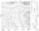
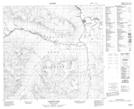
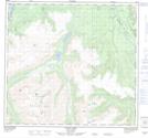
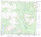
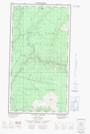
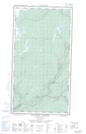
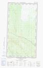
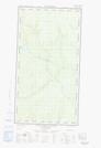
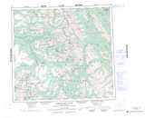
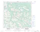
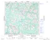
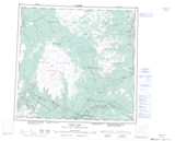
Stikine River Recreation Area NTS Map Sheets
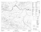
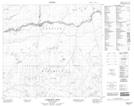
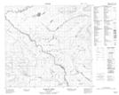
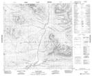
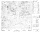
094E12 Spruce Hill Topographic Map at 1:50,000 scale
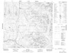
104H09 Dawson River Topographic Map at 1:50,000 scale
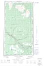
104H12 Kluea Lake Topographic Map at 1:50,000 scale
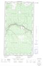
104H13 Ealue Lake Topographic Map at 1:50,000 scale
104H14 Cullivan Creek Topographic Map at 1:50,000 scale
104H15 Cambridge Creek Topographic Map at 1:50,000 scale
104H16 Diamond Creek Topographic Map at 1:50,000 scale
104I01 Tucho River Topographic Map at 1:50,000 scale
104I02 Settea Lake Topographic Map at 1:50,000 scale
104I04 Cake Hill Topographic Map at 1:50,000 scale
104J01E Stikine Canyon Topographic Map at 1:50,000 scale
104J01W Stikine Canyon Topographic Map at 1:50,000 scale
104J02E Classy Creek Topographic Map at 1:50,000 scale
104J02W Classy Creek Topographic Map at 1:50,000 scale
104J03E Tahltan River Topographic Map at 1:50,000 scale
104J03W Tahltan River Topographic Map at 1:50,000 scale
094E Toodoggone River Topographic Map at 1:250,000 scale
104H Spatsizi River Topographic Map at 1:250,000 scale
104I Cry Lake Topographic Map at 1:250,000 scale
104J Dease Lake Topographic Map at 1:250,000 scale