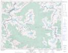
Maps showing Gyr Glacier, Kootenay Land District, British Columbia
Gyr Glacier is a Glacier located in Kootenay Land District, British Columbia.
- Latitude: 50° 49' 40'' North (decimal: 50.8277999)
- Longitude: 117° 15' 15'' West (decimal: -117.2542000)
- Topography Feature Category: Glacier
- Geographical Feature: Glacier
- Canadian Province/Territory: British Columbia
- Location: Kootenay Land District
- GPS Coordinate Locator Map: Gyr Glacier Lat/Long
Gyr Glacier NTS Map Sheets