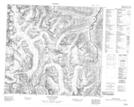
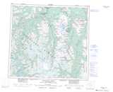
Maps showing Mount Kuys, Cassiar Land District, British Columbia
Mount Kuys is a Mountain located in Cassiar Land District, British Columbia.
- Latitude: 57° 27' 14'' North (decimal: 57.4538888)
- Longitude: 131° 12' 2'' West (decimal: -131.2005555)
- Topography Feature Category: Mountain
- Geographical Feature: Mount
- Canadian Province/Territory: British Columbia
- Location: Cassiar Land District
- Atlas of Canada Locator Map: Mount Kuys
- GPS Coordinate Locator Map: Mount Kuys Lat/Long
Mount Kuys NTS Map Sheets