Canada Topographic Maps

Sechelt Indian Government District Topo Maps

Topography maps and Latitude/Longitude Location

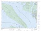
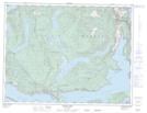
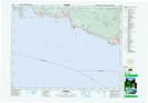
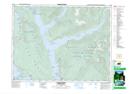
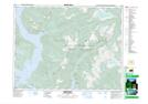
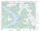
Maps showing Sechelt Indian Government District, New Westminster Land District, British Columbia

Sechelt Indian Government District is a Unincorporated area located in New Westminster Land District, British Columbia.

  • Latitude: 49° 28' 45'' North   (decimal: 49.4791668)
  • Longitude: 123° 44' 30'' West   (decimal: -123.7416699)
  • Topography Feature Category: Unincorporated area
  • Geographical Feature: Indian Government District
  • Canadian Province/Territory: British Columbia
  • Location: New Westminster Land District
  • Atlas of Canada Locator Map: Sechelt Indian Government District
  • GPS Coordinate Locator Map: Sechelt Indian Government District Lat/Long

Sechelt Indian Government District NTS Map Sheets

092F09 Texada Island Topographic Map at 1:50,000 scale

092F16 Haslam Lake Topographic Map at 1:50,000 scale

092G05 Sechelt Topographic Map at 1:50,000 scale

092G12 Sechelt Inlet Topographic Map at 1:50,000 scale

092G13 Jervis Inlet Topographic Map at 1:50,000 scale

092J04 Princes Louisa Inlet Topographic Map at 1:50,000 scale

092F Port Alberni Topographic Map at 1:250,000 scale

092G Vancouver Topographic Map at 1:250,000 scale

092J Pemberton Topographic Map at 1:250,000 scale

 
Buy Topographic Maps DVD
Newsletter Sign-up

Yes, I want to receive map store discounts.


Bookmark and Share