Canada Topographic Maps

Cheves Creek Topo Maps

Topography maps and Latitude/Longitude Location

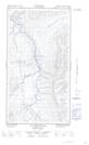
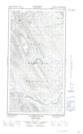
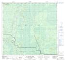
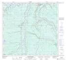
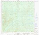
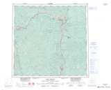
Maps showing Cheves Creek, Peace River Land District, British Columbia

Cheves Creek is a River located in Peace River Land District, British Columbia and has an elevation of 457 meters.

  • Latitude: 58° 32' 33'' North   (decimal: 58.5424999)
  • Longitude: 122° 49' 45'' West   (decimal: -122.8291999)
  • Topography Feature Category: River
  • Geographical Feature: Creek
  • Canadian Province/Territory: British Columbia
  • Elevation: 457 meters
  • Location: Peace River Land District
  • Atlas of Canada Locator Map: Cheves Creek
  • GPS Coordinate Locator Map: Cheves Creek Lat/Long

Cheves Creek NTS Map Sheets

094J05E Tuchodi River Topographic Map at 1:50,000 scale

094J05W Tuchodi River Topographic Map at 1:50,000 scale

094J06E Cheves Creek Topographic Map at 1:50,000 scale

094J06W Cheves Creek Topographic Map at 1:50,000 scale

094J07 Big Beaver Creek Topographic Map at 1:50,000 scale

094J10 Jackfish Creek Topographic Map at 1:50,000 scale

094J11 Akue Creek Topographic Map at 1:50,000 scale

094J Fort Nelson Topographic Map at 1:250,000 scale

 
Buy Topographic Maps DVD
Newsletter Sign-up

Yes, I want to receive map store discounts.


Bookmark and Share