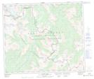
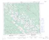
Maps showing Red Deer Falls, Peace River Land District, British Columbia
Red Deer Falls is a Falls located in Peace River Land District, British Columbia.
- Latitude: 54° 29' 40'' North (decimal: 54.4944000)
- Longitude: 120° 38' 45'' West (decimal: -120.6458000)
- Topography Feature Category: Falls
- Geographical Feature: Waterfall
- Canadian Province/Territory: British Columbia
- Location: Peace River Land District
- Atlas of Canada Locator Map: Red Deer Falls
- GPS Coordinate Locator Map: Red Deer Falls Lat/Long
Red Deer Falls NTS Map Sheets