Maps showing Gataga Ranges, Cassiar Land District, British Columbia
Gataga Ranges is a Mountain located in Cassiar Land District, British Columbia.
- Latitude: 58° 20' North (decimal: 58.3333000)
- Longitude: 126° 25' West (decimal: -126.4166999)
- Topography Feature Category: Mountain
- Geographical Feature: Ranges
- Canadian Province/Territory: British Columbia
- Location: Cassiar Land District
- Atlas of Canada Locator Map: Gataga Ranges
- GPS Coordinate Locator Map: Gataga Ranges Lat/Long
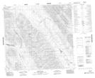
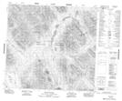
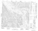
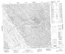
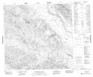
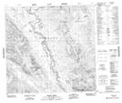
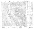
Gataga Ranges NTS Map Sheets
094E16 Sifton Pass Topographic Map at 1:50,000 scale
094F13 Mount Mccook Topographic Map at 1:50,000 scale
094K04 No Title Topographic Map at 1:50,000 scale
094L01 Braid Creek Topographic Map at 1:50,000 scale
094L07 Paddy Creek Topographic Map at 1:50,000 scale
094L08 Through Creek Topographic Map at 1:50,000 scale
094L09 No Title Topographic Map at 1:50,000 scale
094L10 Gataga Mountain Topographic Map at 1:50,000 scale
094L11 Denetiah Creek Topographic Map at 1:50,000 scale
094L14 Moodie Creek Topographic Map at 1:50,000 scale
094L15 No Title Topographic Map at 1:50,000 scale
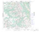
094E Toodoggone River Topographic Map at 1:250,000 scale
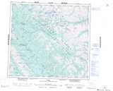
094F Ware Topographic Map at 1:250,000 scale
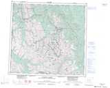
094K Tuchodi Lakes Topographic Map at 1:250,000 scale
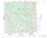
094L Kechika River Topographic Map at 1:250,000 scale