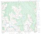
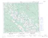
Maps showing Chambers Falls, Peace River Land District, British Columbia
Chambers Falls is a Falls located in Peace River Land District, British Columbia.
- Latitude: 54° 37' 45'' North (decimal: 54.6291670)
- Longitude: 121° 9' 50'' West (decimal: -121.1638888)
- Topography Feature Category: Falls
- Geographical Feature: Waterfall
- Canadian Province/Territory: British Columbia
- Location: Peace River Land District
- Atlas of Canada Locator Map: Chambers Falls
- GPS Coordinate Locator Map: Chambers Falls Lat/Long
Chambers Falls NTS Map Sheets