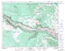
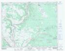
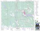
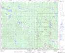
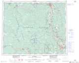
Maps showing Champ de manoeuvre Chilcotin, Cariboo Land District, British Columbia
Champ de manoeuvre Chilcotin is a Military area located in Cariboo Land District, British Columbia and has an elevation of 951 meters.
- Latitude: 52° 4' 51'' North (decimal: 52.0808000)
- Longitude: 122° 33' 5'' West (decimal: -122.5513999)
- Topography Feature Category: Military area
- Geographical Feature: C.M.F.C.
- Canadian Province/Territory: British Columbia
- Elevation: 951 meters
- Location: Cariboo Land District
- Atlas of Canada Locator Map: Champ de manoeuvre Chilcotin
- GPS Coordinate Locator Map: Champ de manoeuvre Chilcotin Lat/Long
Champ de manoeuvre Chilcotin NTS Map Sheets