Canada Topographic Maps

The Allan Trail Topo Maps

Topography maps and Latitude/Longitude Location

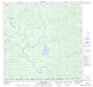
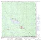
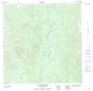
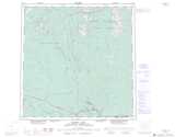
Maps showing The Allan Trail, Yukon

The Allan Trail is a Road feature located in Yukon.

  • Latitude: 60° 4' 33'' North   (decimal: 60.0758333)
  • Longitude: 128° 32' 00'' West   (decimal: -128.5333333)
  • Topography Feature Category: Road feature
  • Geographical Feature: Trail
  • Canadian Province/Territory: Yukon
  • Atlas of Canada Locator Map: The Allan Trail
  • GPS Coordinate Locator Map: The Allan Trail Lat/Long

The Allan Trail NTS Map Sheets

105A01 Blind Lake Topographic Map at 1:50,000 scale

105A02 Watson Lake Topographic Map at 1:50,000 scale

105A08 Sunrise Creek Topographic Map at 1:50,000 scale

105A Watson Lake Topographic Map at 1:250,000 scale

 
Buy Topographic Maps DVD
Newsletter Sign-up

Yes, I want to receive map store discounts.


Bookmark and Share