105A Watson Lake Topographic Maps
Maps for the Watson Lake map sheet 105A at 1:250,000 scale are available in 5 versions:
Topographic Map of Watson Lake

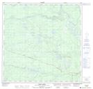
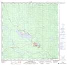
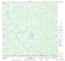
1:50,000 Scale Topos for Watson Lake 105A:
 |
 |
 |
 |
 |
 |
 |
 |
 |
 |
 |
 |
 |
 |
 |
 |
105A Related Maps:
105A Watson Lake
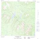
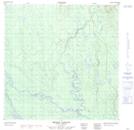
105A01 Blind Lake
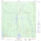
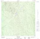
105A02 Watson Lake
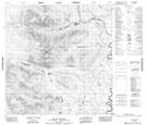
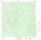
105A03 Dodo Lakes
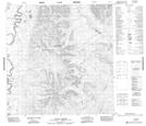
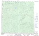
105A04 Allegretto Lake
105A05 False Pass Creek
105A06 Middle Canyon
105A07 Tom Lake
105A08 Sunrise Creek
105A09 Green River
105A10 Stewart Lake
105A11 False Canyon
105A12 Sambo Creek
105A13 Hasselberg Lake
105A14 Upper Canyon
105A15 Mount Murray
105A16 Taffie Creek
105A01 Blind Lake
105A02 Watson Lake
105A03 Dodo Lakes
105A04 Allegretto Lake
105A05 False Pass Creek
105A06 Middle Canyon
105A07 Tom Lake
105A08 Sunrise Creek
105A09 Green River
105A10 Stewart Lake
105A11 False Canyon
105A12 Sambo Creek
105A13 Hasselberg Lake
105A14 Upper Canyon
105A15 Mount Murray
105A16 Taffie Creek
