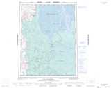
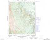
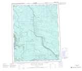
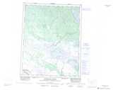
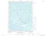
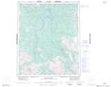
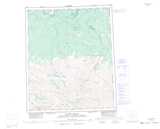
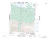
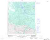
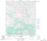
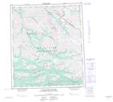
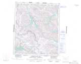
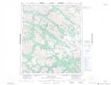
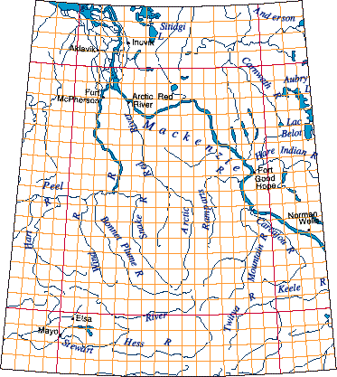
NTS 106: Mackenzie Topo Maps
Mackenzie topo maps are available at 1:250,000 and 1:50,000 scale.
NTS region 106 covers the following areas:
- NT: Western NWT, lower Mackenzie River
- YK: Mackenzie Mountains, eastern Yukon
 |
 |
 |
 |
 |
 |
 |
 |
 |
 |
 |
 |
 |
 |
 |
 |
© Department of Natural Resources Canada. All rights reserved.
Mackenzie, NT, Topo Maps
NTS Region 106 is located in Northwest Territories.
You can zoom in on NTS 106 by clicking on the individual 1:250,000 scale maps above, or navigating through the map of the Mackenzie region below.
To make the best use of this website and the Mackenzie topo maps on this page, you may want to learn more about the National Topographic System of Canada (NTS) and its topo maps.
© Department of Natural Resources Canada. All rights reserved.
