106I Fort Good Hope Topographic Maps
Maps for the Fort Good Hope map sheet 106I at 1:250,000 scale are available in 5 versions:
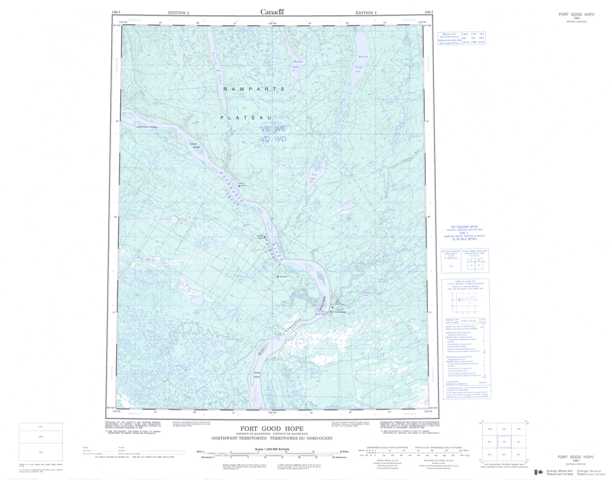
Topographic Map of Fort Good Hope
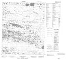
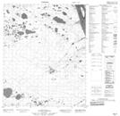
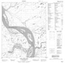
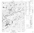
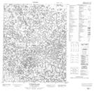
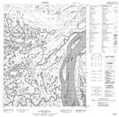
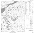
1:50,000 Scale Topos for Fort Good Hope 106I:
 |
 |
 |
 |
 |
 |
 |
 |
 |
 |
 |
 |
 |
 |
 |
 |
106I Related Maps:
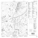
106I Fort Good Hope
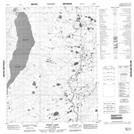
106I01 No Title
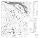
106I02 Tsintu River
106I03 No Title
106I04 Tukweye Lake
106I05 No Title
106I06 No Title
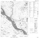
106I07 Fort Good Hope
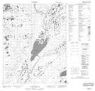
106I08 Ontadek Lake
106I09 Tchaneta River
106I10 No Title
106I11 Tieda River
106I12 Gillis River
106I13 Payne Creek
106I14 Yeltea Lake
106I15 No Title
106I16 Rorey Lake
106I01 No Title
106I02 Tsintu River
106I03 No Title
106I04 Tukweye Lake
106I05 No Title
106I06 No Title
106I07 Fort Good Hope
106I08 Ontadek Lake
106I09 Tchaneta River
106I10 No Title
106I11 Tieda River
106I12 Gillis River
106I13 Payne Creek
106I14 Yeltea Lake
106I15 No Title
106I16 Rorey Lake
