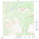
Maps showing Anvil Lake, Yukon
Anvil Lake is a Lake located in Yukon.
- Latitude: 62° 34' 24'' North (decimal: 62.5733333)
- Longitude: 133° 38' 3'' West (decimal: -133.6341667)
- Topography Feature Category: Lake
- Geographical Feature: Lake
- Canadian Province/Territory: Yukon
- Atlas of Canada Locator Map: Anvil Lake
- GPS Coordinate Locator Map: Anvil Lake Lat/Long
Anvil Lake NTS Map Sheets