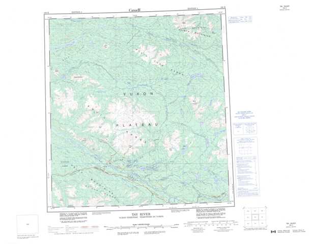
105K Tay River Topographic Maps
Maps for the Tay River map sheet 105K at 1:250,000 scale are available in 5 versions:
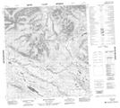
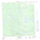
Topographic Map of Tay River
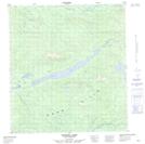
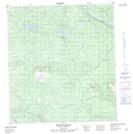
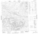
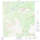
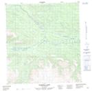
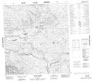
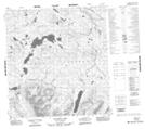
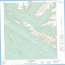
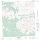
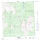
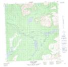
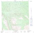
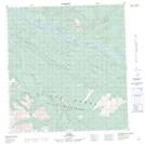
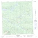
1:50,000 Scale Topos for Tay River 105K:
 |
 |
 |
 |
 |
 |
 |
 |
 |
 |
 |
 |
 |
 |
 |
 |
105K Related Maps:
105K Tay River
105K01 Tenas Creek
105K02 Swim Lakes
105K03 Faro
105K04 Mount Atherton
105K05 Rose Mountain
105K06 Mount Mye
105K07 Blind Creek
105K08 Blind Lakes
105K09 Laforce Lake
105K10 Teddy Creek
105K11 Barwell Lake
105K12 Twopete Mountain
105K13 Stokes Lake
105K14 Mount Gillis
105K15 No Title
105K16 Mount Selous
