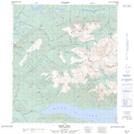
Maps showing Beauvette Hill, Yukon
Beauvette Hill is a Mountain located in Yukon and has an elevation of 1365 meters.
- Latitude: 63° 57' 28'' North (decimal: 63.9577777)
- Longitude: 135° 6' 13'' West (decimal: -135.1036111)
- Topography Feature Category: Mountain
- Geographical Feature: Hill
- Canadian Province/Territory: Yukon
- Elevation: 1365 meters
- Atlas of Canada Locator Map: Beauvette Hill
- GPS Coordinate Locator Map: Beauvette Hill Lat/Long