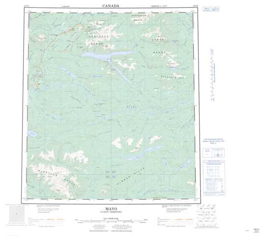
105M Mayo Topographic Maps
Maps for the Mayo map sheet 105M at 1:250,000 scale are available in 5 versions:
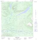
Topographic Map of Mayo
1:50,000 Scale Topos for Mayo 105M:
 |
 |
 |
 |
 |
 |
 |
 |
 |
 |
 |
 |
 |
 |
 |
 |
105M Related Maps:
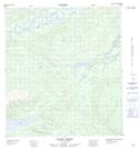
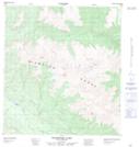
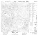
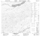
105M Mayo
105M01 Moose Lake
105M02 Clarke Hills
105M03 Sideslip Lake
105M04 Woodburn Lake
105M05 Francis Lake
105M06 Nogold Creek
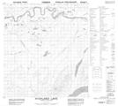
105M07 Highland Lake
105M08 Canoe Creek
105M09 Edwards Lake
105M10 South Nelson Creek
105M11 Williamson Lake
105M12 Mayo
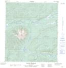
105M13 Mount Haldane
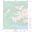
105M14 Keno Hill
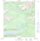
105M15 Mayo Lake
105M16 Tiny Island Lake
105M01 Moose Lake
105M02 Clarke Hills
105M03 Sideslip Lake
105M04 Woodburn Lake
105M05 Francis Lake
105M06 Nogold Creek
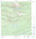
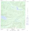
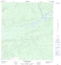
105M07 Highland Lake
105M08 Canoe Creek
105M09 Edwards Lake
105M10 South Nelson Creek
105M11 Williamson Lake
105M12 Mayo
105M13 Mount Haldane
105M14 Keno Hill
105M15 Mayo Lake
105M16 Tiny Island Lake
