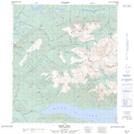
Maps showing Beliveau Creek, Yukon
Beliveau Creek is a River located in Yukon and has an elevation of 837 meters.
- Latitude: 63° 47' 49'' North (decimal: 63.7969444)
- Longitude: 135° 29' 35'' West (decimal: -135.4930556)
- Topography Feature Category: River
- Geographical Feature: Creek
- Canadian Province/Territory: Yukon
- Elevation: 837 meters
- Atlas of Canada Locator Map: Beliveau Creek
- GPS Coordinate Locator Map: Beliveau Creek Lat/Long