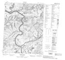
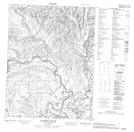
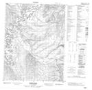
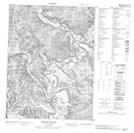
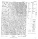
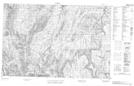
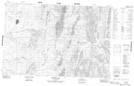
Maps showing Bell River, Yukon
Bell River is a River located in Yukon and has an elevation of 285 meters.
- Latitude: 67° 16' 59'' North (decimal: 67.2830555)
- Longitude: 137° 46' 50'' West (decimal: -137.7805556)
- Topography Feature Category: River
- Geographical Feature: River
- Canadian Province/Territory: Yukon
- Elevation: 285 meters
- Atlas of Canada Locator Map: Bell River
- GPS Coordinate Locator Map: Bell River Lat/Long
Bell River NTS Map Sheets
116P05 Mason Hill Topographic Map at 1:50,000 scale
116P06 Lapierre House Topographic Map at 1:50,000 scale
116P07 Moses Hill Topographic Map at 1:50,000 scale
116P10 Mount Dennis Topographic Map at 1:50,000 scale
116P15 Vunta Creek Topographic Map at 1:50,000 scale
117A01 No Title Topographic Map at 1:50,000 scale
117A02 Bonnet Lake Topographic Map at 1:50,000 scale
116P Bell River Topographic Map at 1:250,000 scale
117A Blow River Topographic Map at 1:250,000 scale