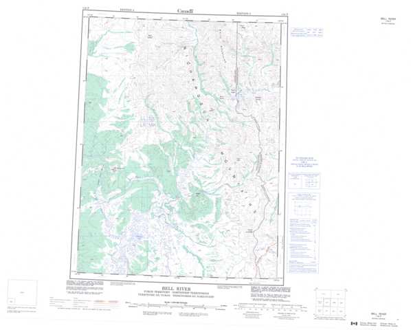
116P Bell River Topographic Maps
Maps for the Bell River map sheet 116P at 1:250,000 scale are available in 5 versions:
Topographic Map of Bell River
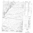
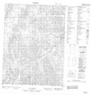
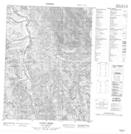
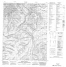
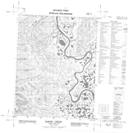
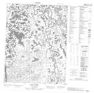
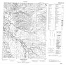
1:50,000 Scale Topos for Bell River 116P:
 |
 |
 |
 |
 |
 |
 |
 |
 |
 |
 |
 |
 |
 |
 |
 |
116P Related Maps:
116P Bell River
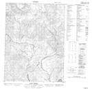
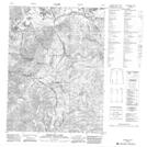
116P01 Mount Sittichinli
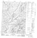
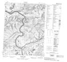
116P02 Pebble Brook
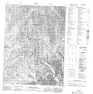
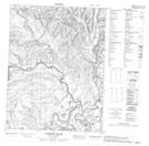
116P03 Tizra Creek
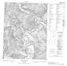
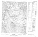
116P04 Nukon Creek
116P05 Mason Hill
116P06 Lapierre House
116P07 Moses Hill
116P08 Mount Millen
116P09 Mcdougall Pass
116P10 Mount Dennis
116P11 Waters River
116P12 Berry Creek
116P13 Takiah Creek
116P14 No Title
116P15 Vunta Creek
116P16 Scho Creek
116P01 Mount Sittichinli
116P02 Pebble Brook
116P03 Tizra Creek
116P04 Nukon Creek
116P05 Mason Hill
116P06 Lapierre House
116P07 Moses Hill
116P08 Mount Millen
116P09 Mcdougall Pass
116P10 Mount Dennis
116P11 Waters River
116P12 Berry Creek
116P13 Takiah Creek
116P14 No Title
116P15 Vunta Creek
116P16 Scho Creek
