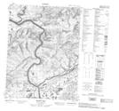
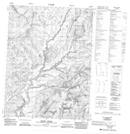
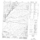
Maps showing Berry Creek, Yukon
Berry Creek is a River located in Yukon and has an elevation of 559 meters.
- Latitude: 67° 27' 10'' North (decimal: 67.4527777)
- Longitude: 137° 57' 15'' West (decimal: -137.9541667)
- Topography Feature Category: River
- Geographical Feature: Creek
- Canadian Province/Territory: Yukon
- Elevation: 559 meters
- Atlas of Canada Locator Map: Berry Creek
- GPS Coordinate Locator Map: Berry Creek Lat/Long
Berry Creek NTS Map Sheets