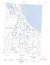
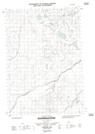
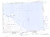
Maps showing Bloomfield Lake, Yukon
Bloomfield Lake is a Lake located in Yukon.
- Latitude: 69° 11' 16'' North (decimal: 69.1877777)
- Longitude: 138° 37' 29'' West (decimal: -138.6247222)
- Topography Feature Category: Lake
- Geographical Feature: Lake
- Canadian Province/Territory: Yukon
- Atlas of Canada Locator Map: Bloomfield Lake
- GPS Coordinate Locator Map: Bloomfield Lake Lat/Long
Bloomfield Lake NTS Map Sheets