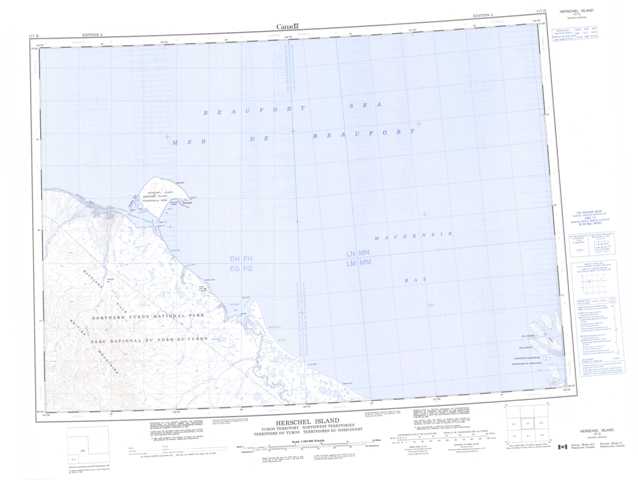
117D Herschel Island Topographic Maps
Maps for the Herschel Island map sheet 117D at 1:250,000 scale are available in 5 versions:
Topographic Map of Herschel Island
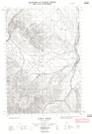
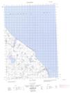
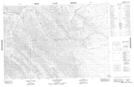
1:50,000 Scale Topos for Herschel Island 117D:
  |
|||
  |
  |
||
 |
  |
 |
 |
117D Related Maps:
117D Herschel Island
117D01 No Title
117D02W Sabine Point
117D03E Crow River
117D03W Crow River
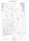
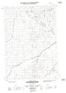
117D04 Glacier Creek
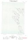
117D05E Loney Creek
117D05W Loney Creek
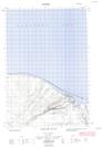
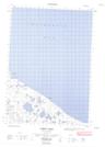
117D06E Kay Point
117D06W Kay Point
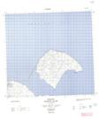
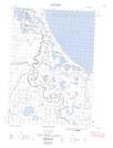
117D12E Herschel Island
117D12W Herschel Island
117D01 No Title
117D02W Sabine Point
117D03E Crow River
117D03W Crow River
117D04 Glacier Creek
117D05E Loney Creek
117D05W Loney Creek
117D06E Kay Point
117D06W Kay Point
117D12E Herschel Island
117D12W Herschel Island
