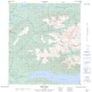
Maps showing Bunker Hill, Yukon
Bunker Hill is a Mountain located in Yukon and has an elevation of 1756 meters.
- Latitude: 63° 53' 38'' North (decimal: 63.8938888)
- Longitude: 135° 9' 10'' West (decimal: -135.1527778)
- Topography Feature Category: Mountain
- Geographical Feature: Hill
- Canadian Province/Territory: Yukon
- Elevation: 1756 meters
- Atlas of Canada Locator Map: Bunker Hill
- GPS Coordinate Locator Map: Bunker Hill Lat/Long