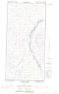
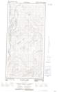
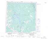
Maps showing Chemi Pond, Yukon
Chemi Pond is a Lake located in Yukon.
- Latitude: 61° 11' 22'' North (decimal: 61.1894444)
- Longitude: 136° 59' 36'' West (decimal: -136.9933333)
- Topography Feature Category: Lake
- Geographical Feature: Pond
- Canadian Province/Territory: Yukon
- Atlas of Canada Locator Map: Chemi Pond
- GPS Coordinate Locator Map: Chemi Pond Lat/Long
Chemi Pond NTS Map Sheets