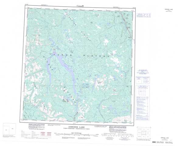
115H Aishihik Lake Topographic Maps
Maps for the Aishihik Lake map sheet 115H at 1:250,000 scale are available in 5 versions:
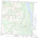
Topographic Map of Aishihik Lake
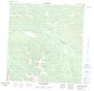
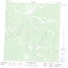
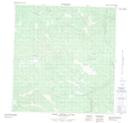
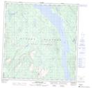
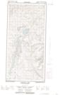
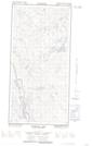
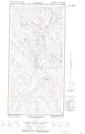
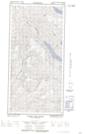
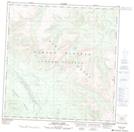
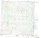
1:50,000 Scale Topos for Aishihik Lake 115H:
 |
 |
 |
  |
 |
 |
  |
  |
 |
 |
  |
  |
 |
 |
  |
  |
115H Related Maps:
115H Aishihik Lake
115H01E Mount Cooper
115H01W Mount Cooper
115H02E Hutshi Lakes
115H02W Hutshi Lakes
115H03 Ittlemit Lake
115H04 Mckinley Creek
115H05 Sekulmun Lake
115H06 Aishihik Lake
115H07E Hopkins Lake
115H07W Hopkins Lake
115H08E Vowel Mountain
115H08W Vowel Mountain
115H09E Kirkland Creek
115H09W Kirkland Creek
115H10E Macintosh Lake
115H10W Macintosh Lake
115H11 Tlansanlin Creek
115H12 Albert Creek
115H13 Schist Creek
115H14 Mackintosh Creek
115H15 Upper Nisling River
115H16E Mount Morrison
115H16W Mount Morrison
