Maps showing Coal River, Yukon
Coal River is a River located in Yukon and has an elevation of 673 meters.
- Latitude: 60° 0' 0'' North (decimal: 60)
- Longitude: 127° 7' 5'' West (decimal: -127.1180556)
- Topography Feature Category: River
- Geographical Feature: River
- Canadian Province/Territory: Yukon
- Elevation: 673 meters
- Atlas of Canada Locator Map: Coal River
- GPS Coordinate Locator Map: Coal River Lat/Long
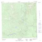
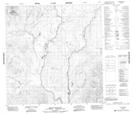
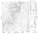
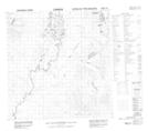
Coal River NTS Map Sheets
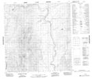
095D03 Mount Gilliland Topographic Map at 1:50,000 scale
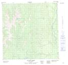
095D05 Acland Creek Topographic Map at 1:50,000 scale
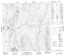
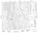
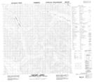
095D06 No Title Topographic Map at 1:50,000 scale
095D11 No Title Topographic Map at 1:50,000 scale
095D12 Hulse Lake Topographic Map at 1:50,000 scale
095D13 Mount Kostiuk Topographic Map at 1:50,000 scale
095D14 Mount Skonseng Topographic Map at 1:50,000 scale
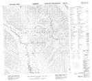
095E03 No Title Topographic Map at 1:50,000 scale
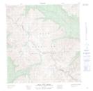
095E05 Caesar Lakes Topographic Map at 1:50,000 scale
095E06 No Title Topographic Map at 1:50,000 scale
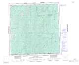
095E12 Bear Pass Creek Topographic Map at 1:50,000 scale
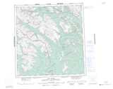
095D Coal River Topographic Map at 1:250,000 scale
095E Flat River Topographic Map at 1:250,000 scale