095D Coal River Topographic Maps
Maps for the Coal River map sheet 095D at 1:250,000 scale are available in 5 versions:
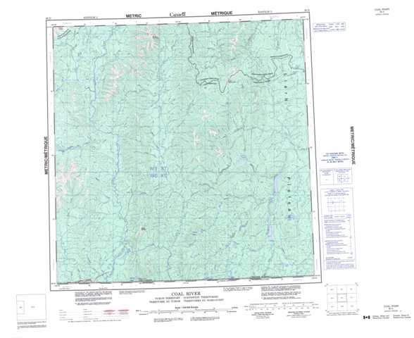
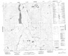
Topographic Map of Coal River
1:50,000 Scale Topos for Coal River 095D:
 |
 |
 |
 |
 |
 |
 |
 |
 |
 |
 |
 |
 |
 |
 |
 |
095D Related Maps:
095D Coal River
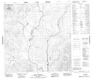
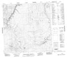
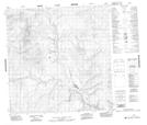
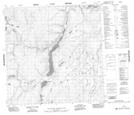
095D01 No Title
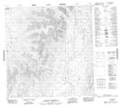
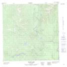
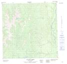
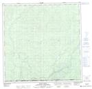
095D02 Lootz Lake
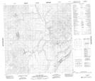
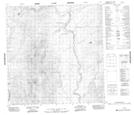
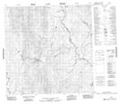
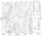
095D03 Mount Gilliland
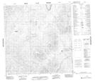
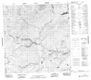
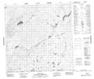
095D04 Irons Creek
095D05 Acland Creek
095D06 No Title
095D07 No Title
095D08 No Title
095D09 No Title
095D10 No Title
095D11 No Title
095D12 Hulse Lake
095D13 Mount Kostiuk
095D14 Mount Skonseng
095D15 Last Mountain
095D16 No Title
095D01 No Title
095D02 Lootz Lake
095D03 Mount Gilliland
095D04 Irons Creek
095D05 Acland Creek
095D06 No Title
095D07 No Title
095D08 No Title
095D09 No Title
095D10 No Title
095D11 No Title
095D12 Hulse Lake
095D13 Mount Kostiuk
095D14 Mount Skonseng
095D15 Last Mountain
095D16 No Title
