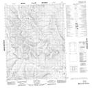
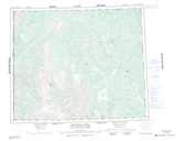
Maps showing Cody Hill, Yukon
Cody Hill is a Mountain located in Yukon and has an elevation of 822 meters.
- Latitude: 66° 35' 10'' North (decimal: 66.5861111)
- Longitude: 138° 34' 10'' West (decimal: -138.5694444)
- Topography Feature Category: Mountain
- Geographical Feature: Hill
- Canadian Province/Territory: Yukon
- Elevation: 822 meters
- Atlas of Canada Locator Map: Cody Hill
- GPS Coordinate Locator Map: Cody Hill Lat/Long
Cody Hill NTS Map Sheets