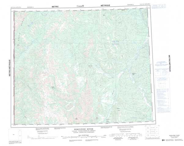
116J Porcupine River Topographic Maps
Maps for the Porcupine River map sheet 116J at 1:250,000 scale are available in 5 versions:
Topographic Map of Porcupine River
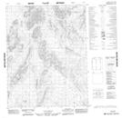
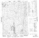
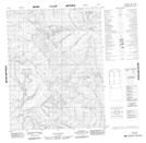
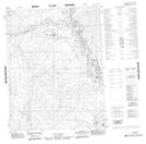
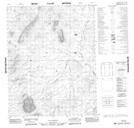
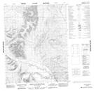
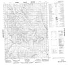
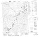
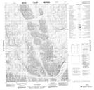
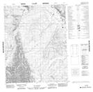
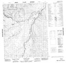
1:50,000 Scale Topos for Porcupine River 116J:
 |
 |
 |
 |
 |
 |
 |
 |
 |
 |
 |
 |
 |
 |
 |
 |
116J Related Maps:
116J Porcupine River
116J01 No Title
116J02 Cathedral Rocks
116J03 Mount Dewdney
116J04 Mount Burgess
116J05 No Title
116J06 No Title
116J07 Mason Lake
116J08 Whitestone Village
116J09 Rube Creek
116J10 Cody Hill
116J11 Bear Cave Mountain
116J12 No Title
116J13 No Title
116J14 Heart Mountain
116J15 No Title
116J16 No Title
