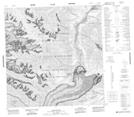
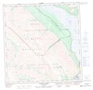
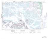
Maps showing Coin Creek, Yukon
Coin Creek is a River located in Yukon and has an elevation of 1066 meters.
- Latitude: 60° 58' 56'' North (decimal: 60.9822222)
- Longitude: 138° 34' 23'' West (decimal: -138.5730556)
- Topography Feature Category: River
- Geographical Feature: Creek
- Canadian Province/Territory: Yukon
- Elevation: 1066 meters
- Atlas of Canada Locator Map: Coin Creek
- GPS Coordinate Locator Map: Coin Creek Lat/Long
Coin Creek NTS Map Sheets