115G Kluane Lake Topographic Maps
Maps for the Kluane Lake map sheet 115G at 1:250,000 scale are available in 5 versions:
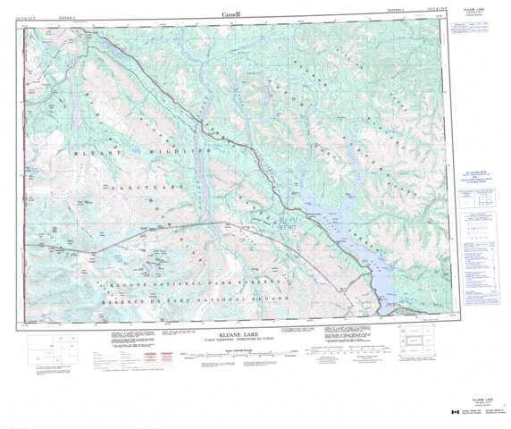
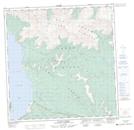
Topographic Map of Kluane Lake
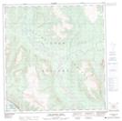
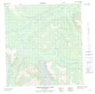
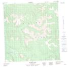
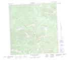
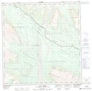
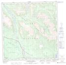
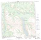
1:50,000 Scale Topos for Kluane Lake 115G:
 |
 |
 |
 |
 |
 |
 |
 |
 |
 |
 |
 |
 |
 |
 |
 |
115G Related Maps:
115G Kluane Lake
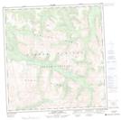
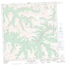
115G01 Cultus Creek
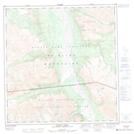
115G02 Congdon Creek
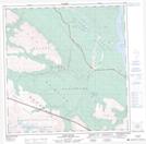
115G03 Bighorn Creek
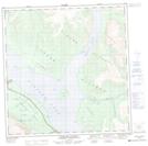
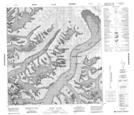
115G04 Donjek Glacier
115G05 Steele Creek
115G06 Duke River
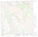
115G07 Burwash Landing
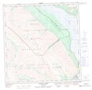
115G08 Gladstone Creek
115G09 Talbot Creek
115G10 Serpenthead Lake
115G11 Nuntaea Creek
115G12 Lynx Creek
115G13 Tom Murray Creek
115G14 Toshingermann Lakes
115G15 Kiyera Lake
115G16 Rhyolite Creek
115G01 Cultus Creek
115G02 Congdon Creek
115G03 Bighorn Creek
115G04 Donjek Glacier
115G05 Steele Creek
115G06 Duke River
115G07 Burwash Landing
115G08 Gladstone Creek
115G09 Talbot Creek
115G10 Serpenthead Lake
115G11 Nuntaea Creek
115G12 Lynx Creek
115G13 Tom Murray Creek
115G14 Toshingermann Lakes
115G15 Kiyera Lake
115G16 Rhyolite Creek
