Canada Topographic Maps

Dalglish Creek Topo Maps

Topography maps and Latitude/Longitude Location

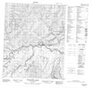
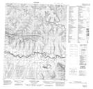
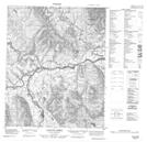
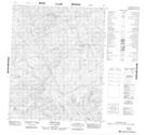
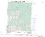
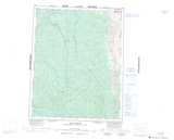
Maps showing Dalglish Creek, Yukon

Dalglish Creek is a River located in Yukon and has an elevation of 413 meters.

  • Latitude: 65° 52' 27'' North   (decimal: 65.8741666)
  • Longitude: 136° 19' 27'' West   (decimal: -136.3241667)
  • Topography Feature Category: River
  • Geographical Feature: Creek
  • Canadian Province/Territory: Yukon
  • Elevation: 413 meters
  • Atlas of Canada Locator Map: Dalglish Creek
  • GPS Coordinate Locator Map: Dalglish Creek Lat/Long

Dalglish Creek NTS Map Sheets

116H14 Enterprise Creek Topographic Map at 1:50,000 scale

116H15 Pothole Lake Topographic Map at 1:50,000 scale

116H16 Canyon Creek Topographic Map at 1:50,000 scale

116I03 Aitch Hill Topographic Map at 1:50,000 scale

116H Hart River Topographic Map at 1:250,000 scale

116I Eagle River Topographic Map at 1:250,000 scale

 
Buy Topographic Maps DVD
Newsletter Sign-up

Yes, I want to receive map store discounts.


Bookmark and Share