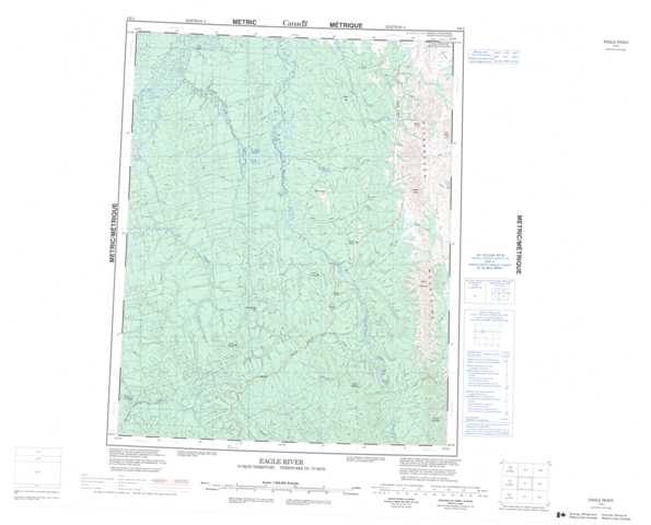
116I Eagle River Topographic Maps
Maps for the Eagle River map sheet 116I at 1:250,000 scale are available in 5 versions:
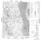
Topographic Map of Eagle River
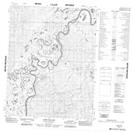
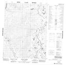
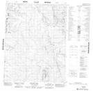
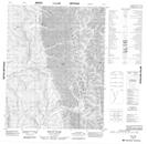
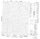
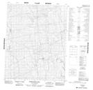
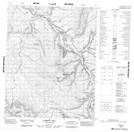
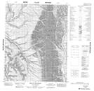
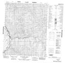
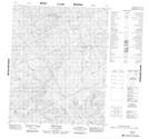
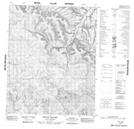
1:50,000 Scale Topos for Eagle River 116I:
 |
 |
 |
 |
 |
 |
 |
 |
 |
 |
 |
 |
 |
 |
 |
 |
116I Related Maps:
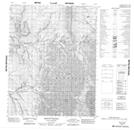
116I Eagle River
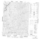
116I01 Mount Richards
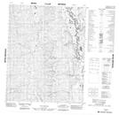
116I02 Mount Higgins
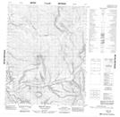
116I03 Aitch Hill
116I04 Mcparlon Creek
116I05 Greaves Creek
116I06 Samuelson Hill
116I07 Corbett Hill
116I08 Mount Raymond
116I09 Mount Hare
116I10 Mount Joyal
116I11 No Title
116I12 Ellen Creek
116I13 Anik Island
116I14 Aquila Creek
116I15 Polley Hill
116I16 Mount Cronin
116I01 Mount Richards
116I02 Mount Higgins
116I03 Aitch Hill
116I04 Mcparlon Creek
116I05 Greaves Creek
116I06 Samuelson Hill
116I07 Corbett Hill
116I08 Mount Raymond
116I09 Mount Hare
116I10 Mount Joyal
116I11 No Title
116I12 Ellen Creek
116I13 Anik Island
116I14 Aquila Creek
116I15 Polley Hill
116I16 Mount Cronin
