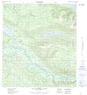
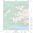
Maps showing Davidson Creek, Yukon
Davidson Creek is a River located in Yukon and has an elevation of 737 meters.
- Latitude: 63° 46' 6'' North (decimal: 63.7683333)
- Longitude: 135° 27' 2'' West (decimal: -135.4505556)
- Topography Feature Category: River
- Geographical Feature: Creek
- Canadian Province/Territory: Yukon
- Elevation: 737 meters
- Atlas of Canada Locator Map: Davidson Creek
- GPS Coordinate Locator Map: Davidson Creek Lat/Long
Davidson Creek NTS Map Sheets